
Maps & Data
Answer your question of where
Our data are demographic data such as age structure, population structure, consumer spending, purchasing power and business data. With these data you analyze your markets down to the smallest detail - in combination with your own company data. Use maps and understand the significance of spatial data.
An Overview of our Data Portfolio
The range of data available is large and varied. We provide demographic data, purchasing power ratios and B2B data for all European countries. We have an overview and will help you make the right selection. To make sure you get the best, and at the best price.
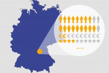
Demographic Data for Germany
Population, Age Groups, Housing Situation, Family Structure, Income Groups, Life Stages, and other up-to-date variables for Germany
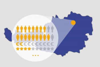
Demographics for Austria
Comprehensive, top-quality market data is available for Austria at every geographic level. WIGeoGIS integrates the latest data from Statistics Austria into its data products on an annual basis.
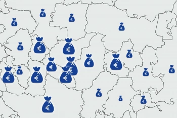
Purchasing Power Data for Germany, Austria, and Europe
We offer purchasing power data broken down by product category and age group, available at the ZIP code level and for smaller geographic areas.

WIGeo Location Data - High-Quality POI Data for DACH
Discover the power of WIGeo Location Data – high-quality POI and location factors for retail, gastronomy, and service industries in Germany, Austria, and Switzerland. Make smarter location decisions.
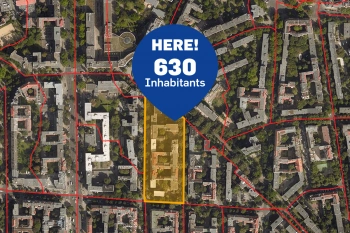
Microgeographic Data for Geomarketing | GEOmarkets
GEOmarkets provides over 600 microgeographic variables for geoanalytics in Germany.
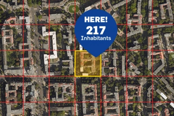
Regional Demographics in Geographic Grid Cells Germany
The AZ Germany-Raster includes regional market data for Germany in geographic grid - always equal areas of 100 x 100 m up to areas of 10 x 10 km.
Demographics or Purchasing Power data. Test our data for free!
An Overview of our Geodata Portfolio
WIGeoGIS offers worldwide geodata to leading providers for over 30 years. You can rely on our expertise. The high-quality digital data is extremely accurate and fresh. The geodata is also available as Web Services (API).
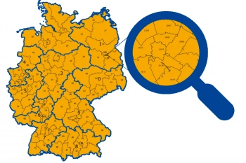
ZIP Code Map
ZIP Code maps are used to present topics in relation to location. We provide ZIP Code maps for your geo-analyses or as pure geometries for graphic artists. Also including market data upon request.
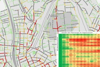
Traffic data for Mobility analysis & Traffic Planning
Use detailed traffic data from TomTom via WIGeoGIS for precise mobility analyses, traffic planning, and location analysis.
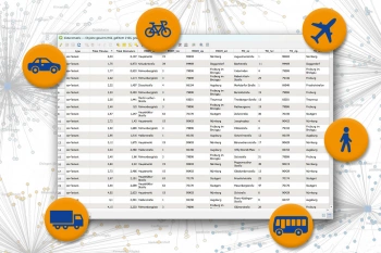
Calculate Distance Matrix: Travel Times and Distances
Calculated distances and travel times between any locations. Distance matrices provide the basis for various planning and optimization processes.
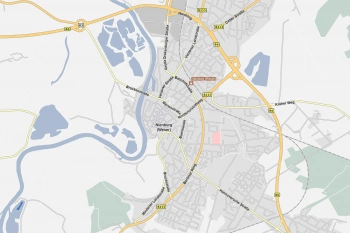
Road Data for Logistics and Fleet Management
Global road data from TomTom with comprehensive routing and navigation attributes—ideal for use in logistics, telematics, transport management, and freight forwarding.
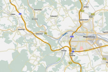
WIGeoStreet – Precise vector maps for Europe
WIGeoStreet are precise vector maps based on TomTom Multinet-R. For all of Europe and numerous other countries. Ready for use in all GIS systems.
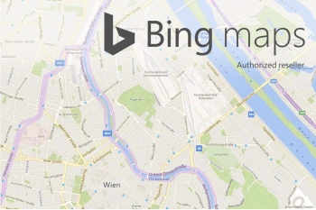
Bing Maps - Geodata as Web Services
Bing Maps are high quality worldwide web services from Microsoft that provide maps, aerial photos, geocoding and routing. WIGeoGIS is an authorized distributor.
Interested in our Geodata or Web Services? Request test data without obligation.
Maps & Data: Test now free of charge and without obligation!
- Test data* on street data, digital maps, demographics and more
- Test ends automatically without cancellation
I will gladly support you, also by telephone.

* Information about the free test data: Selected test data is available for standard regions in Germany or Austria. For Germany, the data is for districts in Munich and the surrounding areas. For Austria, the data is for districts in Vienna and the surrounding areas. The products of WIGeoGIS are intended for companies and are not suitable for private use. If you need a one-time market analysis, we will gladly make you a service offer.
FAQ
-
What is microgeographic data?
In Geomarketing, we consider small-scalled geographical data as well as sociodemographics data on a very detailed spatial level e.g. on building-level, street sections-level or grid cells size of 100m x 100m as "micro".
-
Do you produce your own data? Which data providers do you work with?
We do not produce any data ourselves. We work with numerous well-known producers and data providers from various sectors around the world.
-
For which countries do you offer demographics and geodata?
Basically, WIGeoGIS offers demographics and geodata for all European countries. However, through our data partnerships we are also able to offer global geodata.
-
Is it possible to just purchase data extracts e.g. for a country or province, etc.?
Yes of course. Simply contact one of our service representatives. We will be happy to make you an attractive offer.
Test the Geodata and Market Data now for free with no obligation!