Crédit Agricole: Market potentials via GIS
“The tools supplied by WIGeoGIS enable us to perform simpler analyses and promote the understanding of our distribution structures. The branch network can be more transparently analysed through the determination and assessment of catchment areas.”, Bartosz Taborowski, manager in charge of geomarketing analyses for Crédit Agricole

Case Study Overview
Customer: Crédit Agricole
Application: Market analysis
Product: Geocoder JoinAddress, Desktop-GIS, Demographics
Goal: Identify market potential, evaluate and optimize existing sales structure and branch network
Use: Polish subsidiary of Crédit Agricole
Crédit Agricole: Market potentials via GIS
To keep up with the constantly growing needs of microgeographical analyses, the Polish subsidiary of Crédit Agricole uses a GIS by WIGeoGIS.
ArcGIS, the solution by Esri Inc., including the WIGeoGIS extensions JoinAddress, WIGeoNetwork, WIGeoProfil and WIGeoReport, represent the primary components of the geomarketing system. Vector-based maps (WIGeoStreet) and demographics from various sources form another important element.
Transparent analysis
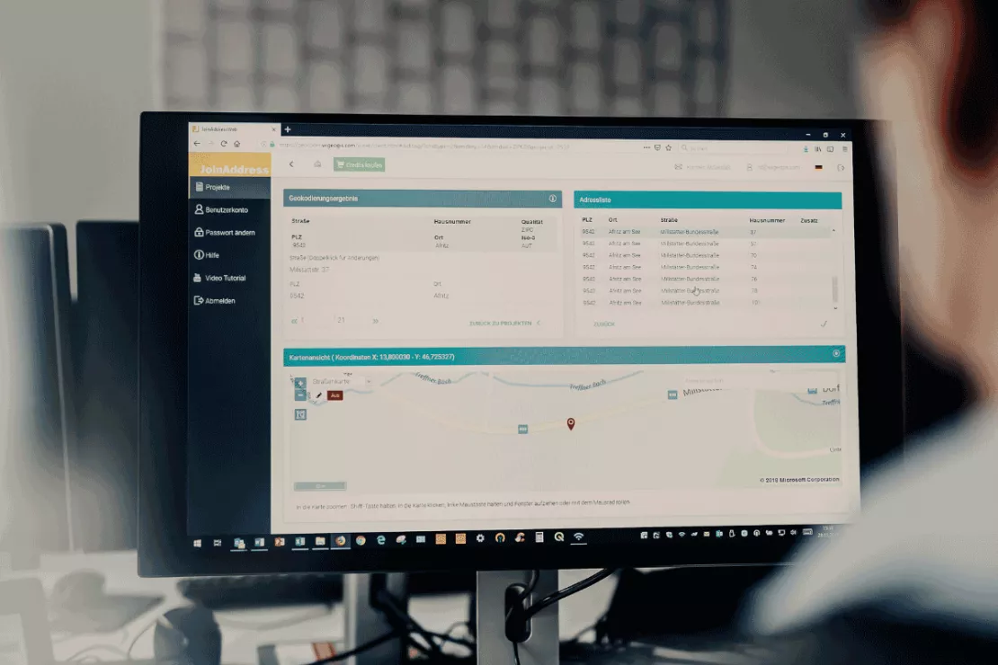
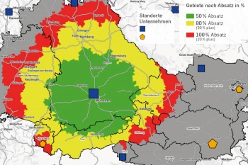
The solution currently serves primarily as an instrument for supporting decisions in the development plan of Crédit Agricole. Part of these analyses involves identifying market potentials as well as the concomitant assessment of the existing distribution structure and the branch network. “The tools supplied by WIGeoGIS enable us to perform simpler analyses and promote the understanding of our distribution structures. The branch network can be more transparently analysed through the determination and assessment of catchment areas”, Bartosz Taborowski, manager in charge of geomarketing analyses for Crédit Agricole, ascertained. One of the strategic steps in the analyses was the geocoding of nine million customer addresses of Crédit Agricole with the aid of the geocoding component JoinAddress. The localised customer data in combination with the potentials data from Acxiom became an important element in the process of generating the catchment areas for the branches.The catchment areas thus defined were used as the basis for further geomarketing analyses. These range from determining potential areas at the microlevel, assessing the competitive situation, target audience analysis, to small-scale assessment of market share.

Automation of processes
The GIS solution implemented at Crédit Agricole makes (full) automation of analysis processes possible. This is guaranteed through the standard components ArcGIS, ModelBuilder, as well as functions from the WIGeoGIS extensions that are built into ArcToolbox:- WIGeoNetwork – street network analyses
- WIGeoProfil – inheritance of information, hotspot analyses
- WIGeoReport – batch reporting for maps and table reports
Thanks to this integration, the path from “raw” data to meaningful reports is simple and efficient. According to Bartosz Taborowski: “JoinAddress, together with WIGeoNetwork, has optimised and qualitatively improved the process of determining preference branches for every customer.”
Market analysis - further case studies

Case Study WebGIS: This is how CLAAS uses WIGeoWeb
Potential analysis, market analysis and territory management all with one WebGIS! Yes! CLAAS has been using its own WIGeoGIS WebGIS to answer many questions since 2014.

Geomarketing in Competition Law
WIGeoGIS creates geographic market analyses for merger control procedures quickly, efficiently and accurately.

Transparent market reporting for banks with geomarketing
The Unicredit HypoVereinsbank (HVB) uses geomarketing to measure the success and potentials of its branches in Germany.

Unicredit Bank Austria: Geomarketing optimises sales structures
Using WIGeoGIS geomarketing software, UniCredit Bank Austria is optimising its sales structures based on physical branches.
GIS Software: Request a FREE Live Demo!
- FREE Live-Demo* of GIS Software
- Non-binding, without further obligations
- Online presentation via video call
Do you want to know more about GIS software? I will be glad to support you.

