Geomarketing Software
Location Analytics, Customer Analyses and Territory Planning on Interactive Maps
Use our mapping software to analyze your company data with current geo data and demographics. WIGeoGIS has been offering WebGIS software, geo data and consulting for every area of geomarketing for 30 years.
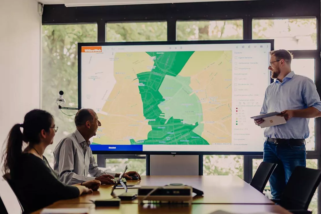
WIGeoWeb - Maps Make Your Business Better
The WebGIS software takes your analyses to the next level, telling you more about your customers, potential, revenue, territory plans and more.
- Easily visualize data on interactive maps
- Spatial analysis that is intuitive for everyone
- Standardized reports
- Available 24/7 in the cloud
“Until now, we could only export the data as a list or table, which is too abstract in practice. Only with the help of spatial representation can we quickly draw the right conclusions.”
Jürgen Luhn, Head of Real Estate Process Management & 2nd Level Controls, Unicredit Bank Austria
Test our WIGeoWeb geomarketing software for 30 days for free with no obligation! The trial period ends automatically with no cancellation needed.
WIGeoLocation - Location Analysis Software
The 3-step analysis takes you from address search to a complete location report in just 3 minutes.
- Integration of your company data
- Avoid unnecessary on-site appointments
- All the relevant information at a glance
- Access 24/7 with just your web browser
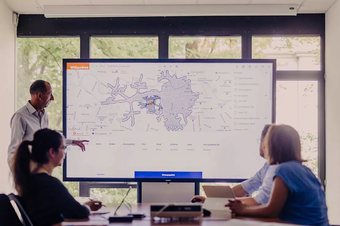
“Location continues to be a key factor for sustainable success in the retail business. With WIGeoLocation, we can offer our member companies very professional, high-quality consultation concerning questions about location.”
Gregor Bernhart, Head of the Board of Management of ANWR GROUP
Location analysis in just 3 minutes! Test the location analysis software WIGeoLocation for free with no obligation.
How Your Company Can Benefit from WIGeoGIS Products
Find out more about the business areas where companies are successfully using our WebGIS software to work with data and maps.
Location Analysis
WIGeoGIS supports your location analysis with extensive consulting know-how and geomarketing software. This allows you to efficiently assess your branch and retail networks.

Market Analysis Tool
How to successfully perform 6 different analyses. Anyone who does business, must know their market. WIGeoWeb helps to answer the question of WHERE.
Sales Territory Planning
You want to plan, evaluate and divide sales territories for your sales representatives? Here are the key reasons why geomarketing software makes sales and territory planning more efficient.
“We look at our locations with WIGeoGIS, we look at our market potential, we look at the catchment areas. WIGeoGIS helped us to define our catchment areas for the very first time. We asked: What should our catchment areas look like? How do we reach our customers?”
Margit Neumeier, ERSTE Bank
Your direct line to us: Do you have any questions? Would you like to try geoanalysis with WebGIS for free?
These Companies Rely on WebGIS Software and Solutions from WIGeoGIS
More Case Studies

Case Study: Lotto Baden-Württemberg
Lotto Baden-Württemberg relies on the geo tool WIGeoLocation and data from WIGeoGIS for location analyses and location planning. This allows the betting provider to successfully further develop its network of locations.

Case Study WebGIS: This is how CLAAS uses WIGeoWeb
Potential analysis, market analysis and territory management all with one WebGIS! Yes! CLAAS has been using its own WIGeoGIS WebGIS to answer many questions since 2014.
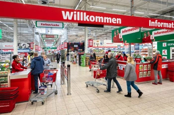
Strategic Retailer Network Planning – Example hagebau
WIGeoLocation, the geo and location analysis tool, provides support for real estate valuation, location development and sales area optimization
WIGeoGIS Data - Geodata, Population, Purchasing Power and More...
Geodata and demographics, in addition to your company data, are the fuel that drives your business analytics
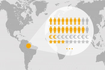
Demographic Data You Need
The range of Demographics available is large and varied. We have an overview and will help you make the right selection. To make sure you get the best, and at the best price.
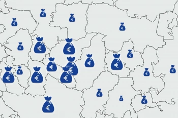
Purchasing power data - Knowing where people are consuming
Purchasing power data provides information about the level of prosperity and willingness to consume. We offer purchasing power data according to product and people groups at the ZIP Code level and smaller scales.
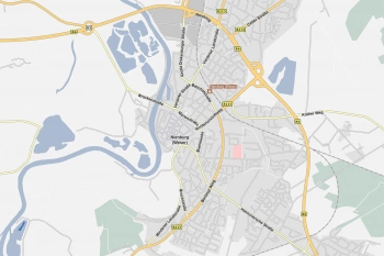
Road Data for Logistics and Fleet Management
Global road data from TomTom with comprehensive routing and navigation attributes—ideal for use in logistics, telematics, transport management, and freight forwarding.
Optimise costs
“Choosing the right data is also a cost factor. The licensing models of the individual market data providers are very diverse and different. Depending on the requirements of the project, prices may differ for the same data quality. The difference may be up to 50 percent. We make sure that you get the best price.”
Marc Urner, WIGeoGIS Senior, Consultant
WIGeoGIS - Your specialist for demographic data. We know the market and provide independent consultation.
Why Geomarketing?
Geomarketing analyses show potentials, weaknesses, target groups and competitor activities from a spatial perspective. Geomarketing is always about the question of “Where”.
You do not have to be an expert in geomarketing since user-friendly, WebGIS software makes working with the complex methods easy. This means a broad group of users can easily operate the systems. Web-based geomarketing software is also often less expensive than desktop GIS for experts. This makes it possible for medium-sized companies to also invest in a geomarketing tool.
More information at a glance →

Optimize Business Processes
Geomarketing optimizes processes and accelerates decisions with clear facts.
The spatial viewpoint reveals relationships that remain hidden without geographical analysis. Geomarketing displays this information clearly and understandably on digital maps. Information can thus be interpreted quickly and intuitively.
Modern WebGIS Software
With our intuitive WebGIS software, WIGeoWeb, geomarketing analyses are no longer just a topic for GIS experts, but employees from every department can use geographical analyses.
We help you to optimize your processes and face the challenge of always being one step ahead of the competition.
The Question of “WHERE”
- Where can I find new potential?
- Where are locations with strong prospects for success?
- Where can I close branches without losing customers?
- Where am I reaching my sales goals and where am I falling short?
- Where do my best customers live?
- Where do I need to improve sales?
More Benefits of Geomarketing
Data Analysis: Are maps superior to spreadsheets?
WebGIS users know that they can display data on maps much faster and more clearly than in spreadsheets. One study wanted to empirically prove the effect and found that compared to spreadsheets, maps save 59% more time and result in 40% fewer errors in decision making. You too can take advantage of this simple fact!
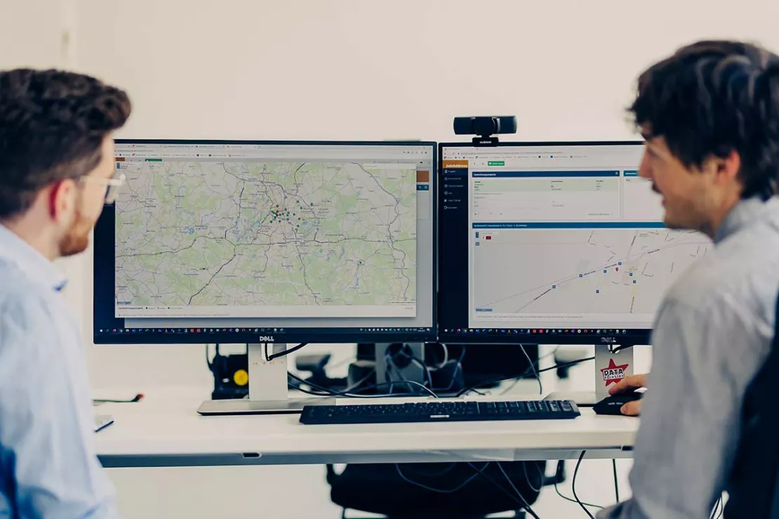
Automated Data Integration in GIS Software
Optimized data integration with automated ETL processes is necessary for data-driven analysis. WIGeoGIS can do all of that and more! Your Benefits:
- Data integration saves time and leads to fewer errors
- Departments and software systems work better together
- The value of your data and analyses increases
Top-Quality Address Geocoding
JoinAddress is a modern geocoding tool that is just as popular with small businesses as it is with large corporations. The geocoder enriches global addresses with exact coordinates. Test JoinAddress for free and with no obligation. You can geocode 400 addresses for free. The trial period ends automatically.
For GIS Experts - QGIS Software for Geomarketing
QGIS is the right decision for your GIS software with all the advantages of open source software. WIGeoGIS offers a solution package based on QGIS with extended functions developed especially for companies, as well as technical and professional support to meet your specific needs. Solve complex issues individually and highly flexibly at the expert workstation.
Instant Online Geocoding with JoinAddress! 400 addresses free of charge, non-binding, no cancellation necessary.
WIGeoGIS: Request a free initial consultation
- FREE initial consultation
- Non-binding, without further obligations
- By telephone or video call
Do you want to know more about WIGeoGIS products* and consulting? I will gladly support you. Please contact me!
FAQ
-
Is the WebGIS software WIGeoWeb suitable for analyses in every spatial unit and country?
Yes! Your data is displayed on interactive maps in any spatial unit you wish. They can be different countries, political divisions, service or sales territories, ZIP Codes, POS catchment areas, core markets, etc. KPIs from different systems are integrated via automated interfaces. Performing a data-driven analysis and visualizing the results on a map has never been easier.
-
Is WIGeoLocation a cloud service?
Yes, WIGeoLocation is a web-based software for location analysis. The software is based on a product from WIGeoGIS that allows you to perform online analyses of locations and the associated catchment areas. The tool can be used as software as a service. We are also happy to install the software at your company.
-
What alternative solutions does WIGeoGIS offer for location analysis?
WIGeoGIS supports you in the location analysis with many years of know-how and offers three approaches:
- A full-service solution in which WIGeoGIS performs all the analyses for you and provides you with the results, also digitally if you wish.
- You can use WIGeoLocation as a WebGIS to perform your own location analyses. WIGeoLocation guides you to a custom location report in just 3 easy steps.
- WIGeoGIS provides you with an expert GIS system including the necessary market data and trains you and your team as part of an individual training course.
-
Why should I use GIS software for my sales territory planning?
The geographical representation of your company including your customers, regional sales representatives and business locations gives you a good overview of your current situation and where improvements can be made. Good area planning should include all the critical success factors such as accessibility, where the sales representatives live, sales potential, etc. These factors compete with each other and need to be fine-tuned, a complex task that the algorithm of an area planning software handles differently than a human! Another advantage is that you can go over different scenarios with little effort.
-
What are the areas of application of regional market data?
Market data such as purchasing power or demographic variables are used in different areas of the company: business development, strategic planning, sales, expansion, marketing and so on. In addition to the analysis of target group density, regional market data is suitable for location assessment, branch network management, retail network planning, expansion planning and sales territory planning.
-
What makes WIGeoWeb reporting stand out from other solutions?
The basis for all WIGeoWeb analyses is spatial data, or WHERE. Analysis, reporting and the calculation of key figures for your chosen area are processed and displayed on a map. You can see at a glance how and in which areas your key figures (KPIs) are developing.
-
What does WIGeoGIS offer in geomarketing?
It has been 30 years since WIGeoGIS made geomarketing, i.e. the use of company data and market data in geographic information systems (GIS), a core competence of the company. In the meantime, hundreds of solutions are in use in Europe, which are convincing on a daily basis. In our case studies you will find concrete application scenarios.

