Intersport: Location analyses for retail
With the aid of customizable geomarketing software, retail businesses can perform demanding analyses
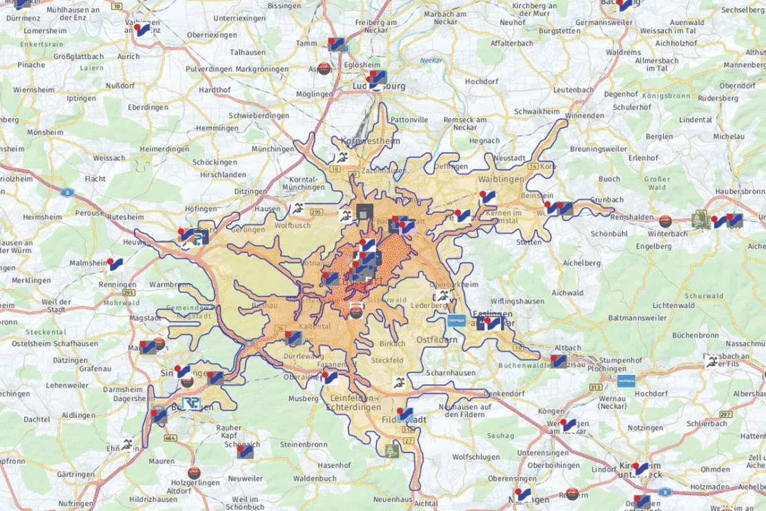
Case Study Overview
Customer: Intersport
Application: Location analysis, Branch network optimization
Product: WIGeoLocation, Desktop-GIS, Demographics Germany
Goal: Successful site selection and optimization of the product offering at the site, forecasts of the long-term profitability of a site
Use: Expansion, member support of 1400 INTERSPORT stores
Intersport: Location analyses for retail more important than ever
With the aid of customizable geomarketing software, retail businesses can perform demanding analyses. The success of locations can thereby be assured over the long term, as the example of INTERSPORT shows. The world’s largest dealer network has relied on WIGeoGIS’s geomarketing software in Germany for several years already.
The sporting goods retail industry is currently confronted with several challenges. On the one hand, online retailers are increasingly crowding the sporting goods market and are significantly increasing pricing pressure. On the other hand, competitors and in part also pricing pressure are increasing over the stationary area. Dealers that normally do not sell sporting goods in their range of products are offering inexpensive goods through special sales.
Moreover, brand manufacturers distribute their own goods in designer outlets or attract customers to their own label stores. In addition to increasing competition, the sporting goods retail sector above all feels the increasing cost pressure for store space. The sporting goods network INTERSPORT also notices precisely these developments.
“In addition to competitive pressure, another current challenge is that rent and running costs are increasing. The running costs are meanwhile so high that they could be considered their own rent,” Carsten Mainz of INTERSPORT thus estimates the current situation in the commercial real estate market. Carsten Mainz must know. He is the head of location development for INTERSPORT Germany. In this role he supervises, together with eleven employees, more than 1400 INTERSPORT specialty stores in location planning and location development.
“INTERSPORT stores are traditionally located in city centers due to the network structure. Under the current conditions, it is becoming more and more difficult for a sporting goods dealer such as INTERSPORT to find commercially profitable spaces in good areas at acceptable conditions. The significance of complex location analyses is therefore growing. You have to deal very intensively with locations and the long-term commercial viability of locations,” Carsten Mainz said.
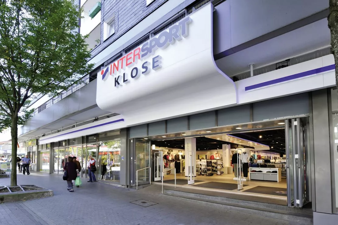
Demanding location analyses
INTERSPORT therefore relies on demanding geomarketing analyses. Carsten Mainz reports: “Before long-term rental agreements are made, a detailed risk/reward analysis of the location is necessary today. We need forecasts on whether a location will be profitable over the long term. The method of defining a catchment area exclusively by the factor of distance is no longer sufficient nowadays, since there are many determining factors of why a customer looks for a store.”One possibility for determining catchment areas more realistically, and thereby of being able to deduce more authoritative sales forecasts than usual, are geomarketing analyses, which are based on the gravitational model. These was developed according to the law of gravity by Isaac Newton. Wolf Graf, Managing Director of WIGeoGIS GmbH, explains the analytical model as follows: “Stated simply, gravitational analysis is based on the assumption that it is above all the attractiveness of a store that is the determining factor for whether a customer feels attracted and in the end goes there. You could also say: the more attractive a store, the more travel routes the customer will put up with.”
WIGeoGIS has applied the gravitational model for many years and supports customers and partners in implementing this methodology for location evaluations.
Gravitational analysis takes factors such as purchasing power, household structure and a company’s proprietary customer data into consideration, in addition to distance. Moreover, attractiveness factors enter into the calculations: “Defining these is a challenge, since what makes one location attractive might not count for another. For example, size and the design of the sales floor, the portfolio and the parking space situation can be attractiveness factors, but they don’t necessarily have to be,” as Wolf Graf knows from many customer projects. INTERSPORT also works with attractiveness factors. “Which ones these are exactly remains of course a trade secret,” Carsten Mainz said with the wink of an eye.The analysis possibilities go further still, as Wolf Graf clarifies: “Complex geomarketing analyses help retail sellers not only with their sales forecasts, but also in orienting the product range ideally to the environment, for example. Next to that, branch networks can be restructured, since simulation analyses give information on the number of locations with which a retail seller is able to supply the demand potential optimally and where these locations need to be.”
Customizable geomarketing software
Companies have high demands nowadays. With standard software, they therefore quickly hit the boundary of what is possible. Flexible geomarketing applications can fulfill these demands, however. INTERSPORT therefore decided on customizable geomarketing software.Carsten Mainz justified the decision thus: “Our complex analyses are only possible with a customized application like WIGeoGIS offers. This is the only application in which the necessary analysis models are available to us. In addition, the system can connect to our existing databases. We can thus work with external and internal data and are not limited exclusively to external market data. Moreover, we are working with a combination of two systems that are linked to one another: an expert geoinformation system and a web-based variant with limited features. In the expert system, we perform complicated detailed analyses for which large volumes of data are required. The web-based geomarketing software is available to our field staff. Location analyses and quick reports are possible directly in the INTERSPORT branches thanks to the web system. We are thereby able to offer interactive consulting on-site.”
Requirements such as those INTERSPORT makes are something Wolf Graf knows. He also knows that the demand for custom-tailored geomarking solutions is increasing. “Our customers nowadays want to use their geomarketing software collaboratively with increasing frequency. This means that the same system should be employed in various areas, not only in location or expansion planning, but also for sales and distribution planning, target market analysis, advertising distribution and in controlling, for example,” Wolf Graf reports. Web-based geomarketing systems are especially well-suited for collaborative use. Yet customer requests go further still. Currently, mobile applications are entering the spotlight more and more.
Location analysis - further case studies and information
ANWR GROUP uses WIGeoLocation
The trade cooperation ANWR GROUP generates location analyses for the specialist trade using WIGeoLocation.
JYSK is using geomarketing solutions
In order to grow, customers must be won away from the competition. This is only possible through a perfect location selection.

Case Study STIHL
The manufacturer of chainsaws and tools for the construction industry and gardening and landscape maintenance uses the location analysis software WIGeoLocation for the development of its retail network and advertising material planning.
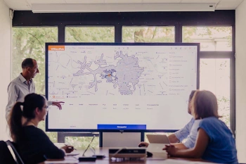
WIGeoLocation: WebGIS software for location analysis
WIGeoLocation is the modern WebGIS software for location analysis. Your location report in just 3 minutes.
WIGeoLocation: Fill out the form, test it free of charge & without obligation!
- Non-binding, free test for 30 days
- Test ends automatically without cancellation
- An employee will explain the tool in a short webinar*
* Information about the free test access: Standard regions with selected data in Germany or Austria will be made available. In Germany, these regions are districts in Munich and environs, and districts of Vienna and environs in Austria. The products of WIGeoGIS are intended for companies and are not suitable for private use. If you need a one-time market analysis, we will gladly make you a service offer.

