Which methods are suitable for location optimization in retail?
For retailers, operating economically viable locations is more of a challenge than ever. Geomarketing software helps you overcome this challenge.
Which methods can you use to optimize your retail locations?
For location optimization in retail, you need a geomarketing software (WebGIS). Such a tool allows you to optimize your locations using the following methods:
- Restructuring of branch networks through white spot and simulation analyses
- Data-driven determination of optimal branch locations
- Location-based sales forecasts using gravitation models
- Targeted category management including the adaptation of the product range to the specific location environment.
Retailers such as Hagebau, Obi, Ikea, JYSK, Intersport, and many more use our WebGIS for location analysis and branch network optimization.
Would you also like to use state-of-the-art methods for your location optimization? We are happy to help you!
Challenges of location optimization in retail
Operating profitable locations is becoming increasingly difficult for retailers. Growing competitive pressure, rising rents and utility costs, and steadily increasing online trade are key factors. That is why well-founded location analyses are more important than ever for retailers.
With the help of a customizable geomarketing software like WIGeoWeb, retail companies can conduct sophisticated analyses that support the assessment and profitability forecasting for their store locations. The method set of the tool covers all the necessary analyses and approaches.
We will provide you with an overview of the most important methods of location optimization for retailers.
Overview of Methods for Location Optimization in Retail
- Branch networks - Restructuring with the help of simulation analyses
- Catchment area calculation - Precise target group-based determination of catchment areas
- Location-based sales forecasts using gravity models
- Category Management - Adjusting the product range to the surrounding environment
- Practical methods for retail location optimization
Would you like to learn about methods for location optimization in retail? We are happy to help you!
Branch networks - Restructuring with the help of simulation analyses
Geomarketing analyses help to optimize branch networks economically. For commercial enterprises, the following questions primarily play a central role in branch network restructurings:
- How many branches are necessary?
- Where do these locations need to be situated in order to maximize the demand potential?
- How large does the capacity (square footage) of the locations need to be?
- Where do the customers of the respective locations come from?
- Which locations are cannibalizing themselves?
- Which locations can be closed without losing sales?
- What effects on neighboring branches can be expected from closing a branch?
Simulation analyses answer such questions.
Example 1: Reorganization of branch networks
Simulation analyses help in reorganizing branch networks optimally, primarily in already highly saturated total markets. Cases show through experience that retail businesses can significantly increase their turnover by relocating branches to other locations.
Example 2: Calculation of cannibalization effects
Simulation analyses are highly suited to answering the important question of cannibalization effects on retail trade. The geomarketing software calculates the intersections of the catchment areas and the households or residents they contain.
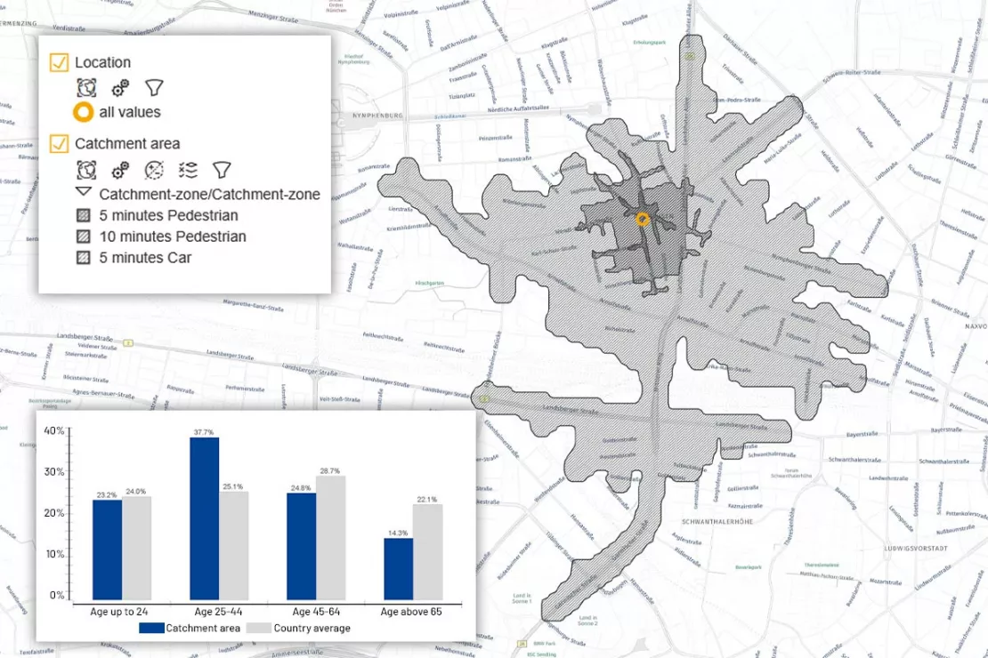
Catchment area calculation - Precise target group-based determination of catchment areas
The determination of catchment areas has traditionally been extremely important in the retail sector.
An evolution of catchment area determination is emerging:
- The first stage of evolution is based on simply drawing a certain radius around the respective location.
- The second stage assumes routing, i.e. travel times or walking times, as the decisive criterion. Many retailers still use this method today.
- Geomarketing now has a third stage of development to offer. With this method, catchment areas can be calculated much more realistically. The calculations are based on the idea that there are many determining factors as to why a customer visits a given store. These are the so-called attractiveness factors. These vary depending on the target group and must be defined individually for each location.
Attractiveness factors of a location can be, for example:
- Size
- Design of the sales floor
- Portfolio
- Parking availability or accessibility to public transport near the store
- Points of interest and other "attraction magnets" in the surrounding area, etc.
If you are looking at the individually defined attractiveness factors in a spatial context, the methodology best suited to your needs is gravitational analysis. Gravity models are a modern geomarketing method for determining catchment areas more realistically and with target group precision. These models were developed based on Isaac Newton’s law of gravity.
Put simply, gravity analysis is based on the assumption that the attractiveness of a store is the key factor in determining whether a customer is attracted to the store and decides to visit it. You could also say: The more attractive the store, the further the customer is willing to travel. If retailers rely on catchment areas based solely on distance, they may be missing out on the full customer potential. Attractiveness factors must be included in the catchment area analyses.
In addition to distance, the gravity analysis also considers factors such as purchasing power, household structure, and the company's own customer data, as well as the essential attractiveness factors. This is useful, because it provides a more in-depth picture of a location's performance and sales potential.
Would you like to determine your catchment areas using the new methods? We are happy to help you!
Location-based sales forecasts using gravity models
Geomarketing analyses make location-based sales forecasts possible. These can be very precisely represented by means of complex analysis models, such as gravity analysis. For reliable sales forecasts, realistic catchment areas are essential as a basis of calculation. The basis for location-based sales forecasts are data on product range-specific purchasing power or overall purchasing power, resident or household numbers.
Location-based sales forecasts support retail businesses not only in deciding on whether or not a potential location will be profitable over the long term, they also assist in the further development of locations, such as whether sales floors should be expanded or the effect of a change of focus in the product range.
Category Management - Adjusting the product range to the surrounding environment
In order to secure the long-term success of a location, the retail industry is increasingly changing over to adjusting the product range to the peculiarities of the surrounding environment. To do so, the catchment area of the location is analyzed on the basis of sociodemographic figures. The households living in a given area are evaluated according to the following attributes:
- Dominant age group
- Dominant purchasing power
- Households with or without children
- Day and night populations
- Building structure (living spaces or commercial buildings)
- Personal affinities
Such analyses bring not only clarity as to why some articles are shelf warmers, they also provide insights into the products or packaging sizes that have the potential to sell well but which have yet to be introduced to the product range on offer.
Conclusion
The optimization of retail locations requires the use of modern geomarketing methods. Simulation analyses support the efficient restructuring of branch networks by answering questions about the optimal number, positioning, and size of locations, as well as identifying cannibalization effects. The precise determination of catchment areas has evolved: In addition to pure distance, attractiveness factors such as sales floor size, product range, and parking availability are now also taken into account in order to define more realistic catchment areas. Gravity analyses enable location-based sales forecasts by incorporating factors such as purchasing power, household structure, and customer data. In addition, a target group-specific analysis of the location environment allows for optimal adaptation of the product range, which ensures the long-term success of a location.
Practical methods for retail location optimization
This is how retail companies use geomarketing and WebGIS and GIS-Software in location optimization. Explore our case studies and in-depth insights.
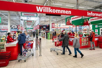
Strategic Retailer Network Planning – Example hagebau
WIGeoLocation, the geo and location analysis tool, provides support for real estate valuation, location development and sales area optimization
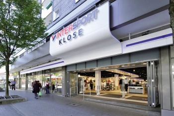
Intersport: Location analyses for retail
The world’s largest dealer network has relied on WIGeoGIS’s geomarketing software in Germany for several years already.
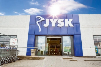
JYSK is using geomarketing solutions
In order to grow, customers must be won away from the competition. This is only possible through a perfect location selection.
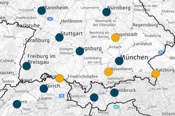
Dealer Network Development in Geomarketing
WebGIS software supports dealer network development: You analyze your market, find potential areas, define dealer areas and thus create the basis for operational measures.
Location optimization in retail: Request a free initial consultation
- FREE initial consultation on location optimization in retail
- Non-binding, without further obligations
- By telephone or video call
Do you want to know more about location optimization in retail? I will gladly support you. Please contact me!

