The AOK Nordost: Transparency in Health Insurance with Geodata
The AOK Nordost relies on GEOmarkets and other geomarketing tools from WIGeoGIS to optimally provide their policyholders with doctors and preventive healthcare services.
Case Study Overview
Customer: AOK Nordost
Areas of application: Strategic Healthcare Planning
Product: GEOmarkets, population forecast at the five-digit ZIP Code level, TomTom traffic data
Goal: Improvement of the healthcare situation for family doctors and specialists, improvement of inpatient care, development of target group-focused preventive measures
Use: 6 analysts, and several hundred people who work further with the processed data
Health Insurance for Three German Federal States
The AOK Nordost – Die Gesundheitskasse is the general local health insurance fund for Berlin, Brandenburg and Mecklenburg-Western Pomerania. It is one of the Top 10 statutory health insurance companies in Germany and is the largest statutory health insurance company in north-eastern Germany.
In order for the AOK Nordost to be able to provide its approximately 1.73 million policyholders optimal and easily accessible healthcare with doctors, healthcare and preventive healthcare services, it requires important data at the smallest possible scale.
“Basically, for us at the AOK Nordost, it is always about adapting the healthcare to the needs of our policyholders.”
Dr. Boris Kauhl, Data scientist for strategic healthcare planning at the AOK Nordost
GEOmarkets from WIGeoGIS helps the AOK Nordost do exactly that. The TomTom traffic data are also important decision-makers for the ongoing healthcare planning of the AOK Nordost.
Are you interested in the advantages of GEOmarkets?
Geomarketing for Healthcare
As a statutory health insurance company, AOK Nordost uses geomarketing to analyze the availability of doctors and healthcare services for their policyholders.
Among other things, geomarketing helps the data analysts at the AOK Nordost to answer the following questions:
- How far do their policyholders have to drive to the nearest family doctor?
- How far is the policyholder from the nearest hospital?
- How big is the catchment area of a hospital?
For example, the AOK Nordost calculates which specialist departments will be needed in which hospitals in the next few years and in which communities and districts a new family doctor office will need to be established. This is only possible with optimal data that reflects the current and future needs of the population at the smallest scale possible.
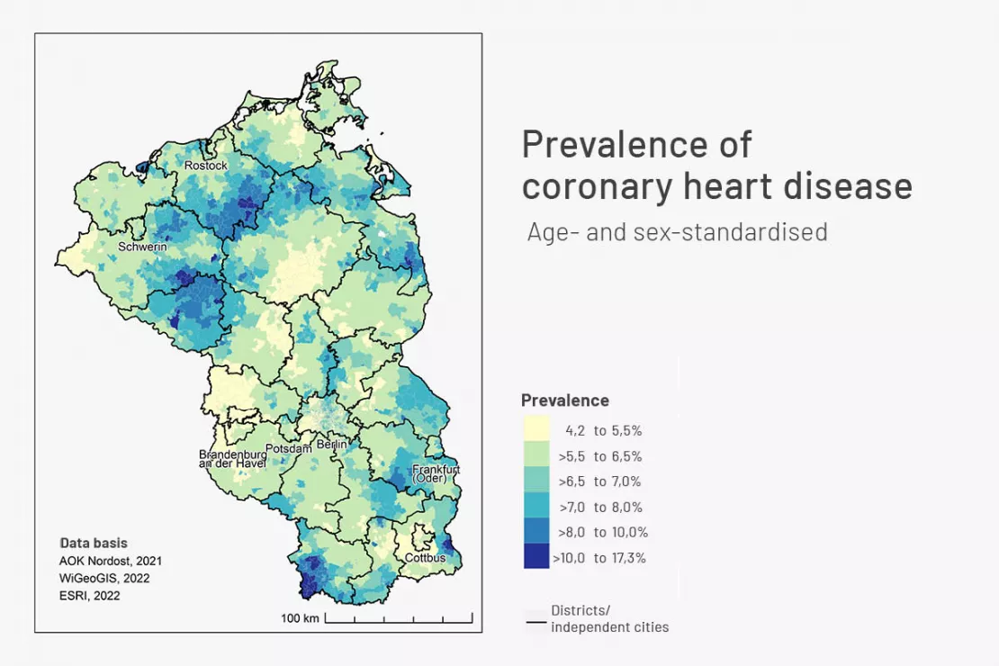
With the help of GEOmarkets, the AOK Nordost is able to determine which diseases, for example coronary heart disease, are widespread in which regions at the smallest scale possible.
Internal and External Data as a Basis for Healthcare Planning
Internally collected data is used to analyze the healthcare needs. Compared to other sectors, health insurance companies have very good and extensive internal data. In order to put this to even better use, the AOK Nordost consults external data with which even better analyses and insights are possible. That is why the AOK Nordost also uses geomarketing data from WIGeoGIS.
“In the AOK Nordost we have a lot of information from our policyholders on an individual level. For example, we know their age and gender, their citizenship and diagnoses, whether they are unemployed, whether they live in a nursing home and how often they have visited doctors and been in the hospital. However, we are also missing some healthcare-related information. This includes, for example, whether they commute to work, the size of their household, the average purchasing power in their place of residence, the percentage of households with children, the average number of children living in a household and the car density.”
Dr. Boris Kauhl, Data scientist for strategic healthcare planning at the AOK Nordost
Therefore, AOK Nordost uses demographic data from WIGeoGIS on the population situation, broken down by criteria such as age, gender, origin, level of employment, level of education, purchasing power, consumer type, insurance behavior, etc.
In addition, the health insurance company receives external data on how many people were born in, immigrated to and died in a region and what the population forecast looks like up to 2050. The data even contains the commuter structure and the number of registered vehicles per household per region.
If you would like to learn more about Geomarketing, simply contact us and we will be happy to answer all your questions!
Small-Scale Data Analysis in Healthcare Planning
The AOK Nordost uses the data from WIGeoGIS because the official statistical figures are too imprecise for their healthcare planning.
“The data for some characteristics in the official statistics are only available at the municipality level. This presents a problem seeing as Berlin is a municipality with 3.6 million inhabitants. The social structure of a municipality the size of Berlin is far too heterogeneous for the official statistics to be of any use for us.”
Dr. Boris Kauhl, Data scientist for strategic healthcare planning at the AOK Nordost
That is why for some questions the AOK Nordost uses the population forecasts from WIGeoGIS at the five-digit ZIP Code level.
“Based on our billing and the use of population forecasts from WIGeoGIS, we are able to extrapolate the prevalences regionally up to the year 2040 in order to be able to determine how many doctors and which specialist departments in hospitals will be needed in the near future.”
Dr. Boris Kauhl, Data scientist for strategic healthcare planning at the AOK Nordost
There are still other questions where even the data at the ZIP Code level is still not exact enough. This is where GEOmarkets from WIGeoGIS comes into play.
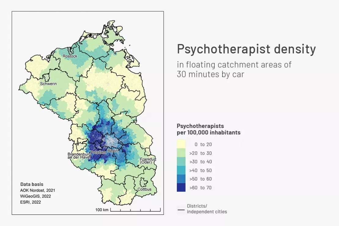
The AOK Nordost also uses data from existing services in order to provide optimal healthcare and preventive care services for the future.
GEOmarkets provide insight at the smallest scale
More in-depth and more precise analyses are required, especially for the planning of preventive care services, which also include risk factors for certain diseases such as obesity and diabetes. The AOK Nordost must be able to use their analyses to determine where specific problems and risk factors exist in the different regions. Based on this information, they can decide which communities, districts and municipalities they need to contact, for example to initiate sports partnerships in primary schools.
“To do this, we need to be able to break down the data into as small a region as possible, and GEOmarkets helps us a lot with that.”
Dr. Boris Kauhl, Data scientist for strategic healthcare planning at the AOK Nordost
That is why the AOK Nordost also uses the data of GEOmarkets from WIGeoGIS, which are offered on a particularly small-scale level. Specifically, a Geomarket includes between 400 and 500 households. For example, the city of Berlin is divided into 7,000 Geomarkets, which allows for a much more detailed population analysis. In addition, the TomTom traffic data from WIGeoGIS also helps with the healthcare planning.
Arrange a free consultation on GEOmarkets
Health Atlas of the AOK Nordost – In Small-Scale Detail Like Never Before
The data from GEOmarkets from WIGeoGIS also formed an important cornerstone for the creation of the Health Atlas of the AOK Nordost, which was published in May 2023. For example, it contains maps showing the regional development of the most important chronic diseases among policyholders over the past 12 years. It also contains the prognosis for chronic diseases up to 2040, including the most important risk factors. In contrast to various health and disease atlases from other health insurance companies, the unique selling point of the AOK Nordost, thanks to the WIGeoGIS data, is the particularly detailed and small-scale analysis of historical and future developments and risk factors.

GEOmarkets und Geomarketing data - further information
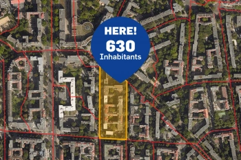
GEOmarkets: Regional Demographics for Germany
GEOmarkets are ideal for small-scale market analyses. They comprise an average of 300 households and take ZIP codes and municipal borders into account.
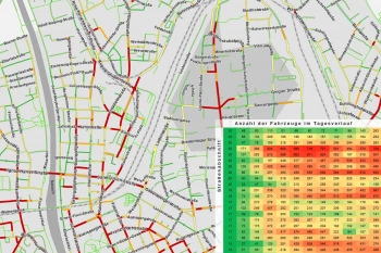
Traffic data for Mobility analysis & Traffic Planning
Use detailed traffic data from TomTom via WIGeoGIS for precise mobility analyses, traffic planning, and location analysis.
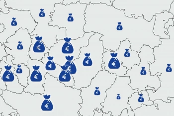
Purchasing power data - Knowing where people are consuming
Purchasing power data provides information about the level of prosperity and willingness to consume. We offer purchasing power data according to product and people groups at the ZIP Code level and smaller scales.
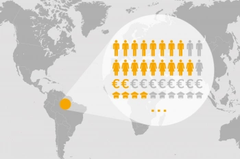
Demographic Data You Need
The range of Demographics available is large and varied. We have an overview and will help you make the right selection. To make sure you get the best, and at the best price.
Geodata and GEOmarkets: Request a free initial consultation
- FREE initial consultation on Geomarketing and GEOmarkets
- Non-binding, without further obligations
- By telephone or video call
Do you want to use GEOmarkets and Geodata? I will gladly support you. Please contact me!
* The products of WIGeoGIS are intended for companies and are not suitable for private use. If you need a one-time market analysis, we will gladly make you a service offer.

