Geoinformation Technology in Risk Management at Munich Re
Precise risk evaluation and damage inspection using GIS
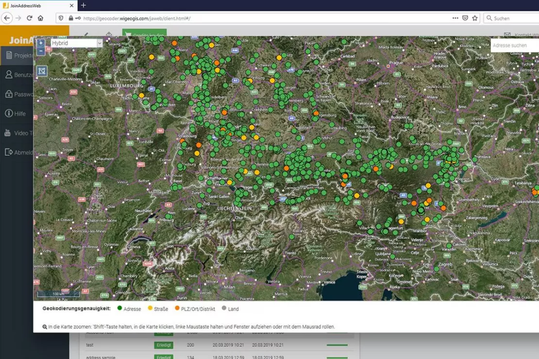
Case Study Overview
Customer: Munich Re
Application: Risk Management
Product: Geocoder JoinAddress
Goal: Accurate risk evaluation and damage inspection
Use: Insurance professionals, Underwriters
Geoinformation Technology in Risk Management at Munich Re
For Munich Re, GIS applications are an indispensable part of risk management
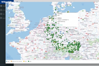
Until the mid-1990s, Geographic Information Systems (GIS) were at most used as “isolated solutions” to support geo-experts. Today, many insurance professionals (underwriters) use complex GIS applications in their day-to-day business since they are integrated as a key component into their company IT. Meanwhile, the range of possible applications covers virtually the entire underwriting process. Everything from data collection and geocoding of insured risks through risk analysis (accumulation and identification of value concentrations and patterns), all the way to risk modeling and the visualization of results. Through portfolio and claims analyses, our customers also benefit from this wide range of applications.
The innovative web technologies of Munich Re provide insurance experts with access to the Geo Data Service (GDS) and thus to address-specific geocoding of the risks. Portfolio and claims data can be georeferenced in unlimited numbers and used for detailed modeling and reporting.
Thanks to the excellent performance, it is now possible to process large contract portfolios with over 1 million risk addresses. If accurate address data is not available in a country, a coarser geocoding based on the well-known CRESTA zones and a global city database is performed. The geocoding is based on JoinAddress, the software solution from WIGeoGIS.
In addition, the product NATHAN, a global risk assessment tool for natural hazards, also utilizes geocoding features of JoinAddress.
Since many primary insurers have so far made little use of address-accurate geocoded stock-related data, Munich Re offers its customers services on the basis of anonymized stock or damage data. The result of spatial analyses of property insurance portfolios: Even unknown accumulation situations (hot spots) or the problems of collective policies can be identified at an early stage. In addition to classic hazard-related evaluations, primary insurers are also using this information more and more in the management of field sales and customer acquisition.
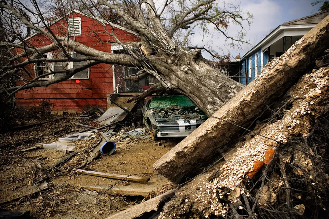
Put to the Test Following Hurricane Katrina
Following Hurricane Katrina, a Munich Re team planned and carried out the claims inspection with the help of a mobile GIS unit for the very first time. Mobile geo-systems enable an up-to-the-minute interaction between the damage on site and the liability data in the company. Normally, such a system consists of a robust PDA and a powerful GPS receiver. Depending on the application, the devices are equipped with geodata and specific programs. For the claims inspection in August 2005, the portfolio section for the claims region was already projected onto stored map and satellite imagery prior to the trip.
With the help of road data, the team was able to optimally plan their route and quickly identify risks. The integration of first claims maps provided by the Federal Emergency Management Agency (FEMA) helped to quickly identify and assess significant individual claims. Numerous individual impressions and the different susceptibility to damage from private, commercial and industrial risks made it possible to gain a first impression of the extent of the damage. Geodatabases were also set up last year for the oil platforms in the Gulf of Mexico. After the hurricanes in 2005, the damage could be estimated very well based on the wind speeds.
First of all, each platform had to be assigned a liability value and scope of cover. On the one hand, this information allows historical events to be readjusted, which is necessary for the calibration of the procedure. On the other hand, it can also be used to evaluate approaching storms to estimate their loss potential for the offshore business.
No End to the Possibilities
The examples demonstrate methods that are already in use today. However, they are only a small selection of the entire range of applications. Internet-based tools impressively show how geoinformation technology can be made accessible to new target groups. After all, if every point on earth can be accessed via satellite images with a few mouse clicks, risk managers and insurance experts can use this technology purposefully and efficiently for their work. In addition, any cartographic information, such as risk zones, can be displayed on the images. If these techniques can be successfully integrated into operational processes in the coming years, a new dimension of risk transparency can be achieved.
Geocoordinates and Geocoding - further case studies and information
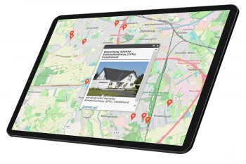
Finding Exact Geocoordinates: Real Estate Valuation at vdpResearch
vdpResearch creates over 600,000 valuations annually. They are based on coordinates provided by the JoinAddress geocoder.
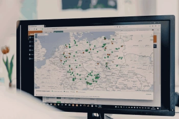
Geocoder Software JoinAddress
Find exact coordinates for your worldwide addresses from Excel files or databases. JoinAddress is smart, fast and stands out with its exceptional price-performance ratio.
Geocoding: Information and Tips for Use
Here you will find background information, tips and insights into how companies use coordinates and geocoding for their business success.
JoinAddress: Fill out the form, test it free of charge & without obligation!
- Non-binding, free test*
- Test ends automatically without cancellation
- Geocode 400 addresses for free
* The products of WIGeoGIS are intended for companies and are not suitable for private use. If you need a one-time market analysis, we will gladly make you a service offer.

